High St Cardigan
Introduction
The photograph on this page of High St Cardigan by Nigel Mykura as part of the Geograph project.
The Geograph project started in 2005 with the aim of publishing, organising and preserving representative images for every square kilometre of Great Britain, Ireland and the Isle of Man.

There are currently over 7.5m images from over 14,400 individuals and you can help contribute to the project by visiting https://www.geograph.org.uk
High St Cardigan
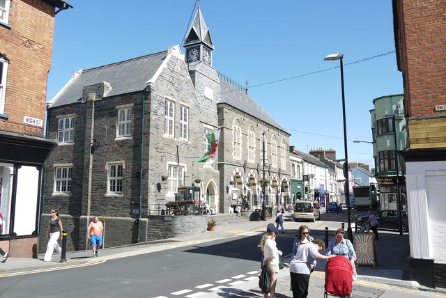
Image: © Nigel Mykura Taken: 30 Jun 2015
This is the northern end of High St where it becomes Pendre. The street in the right foreground is Pwllai. the building in the centre with the clock tower is the Guildhall.
Images are licensed for reuse under creativecommons.org/licenses/by-sa/2.0
Image Location
Latitude
52.084359
Longitude
-4.660445