View southards from near West Mains of Rosemount
Introduction
The photograph on this page of View southards from near West Mains of Rosemount by Stanley Howe as part of the Geograph project.
The Geograph project started in 2005 with the aim of publishing, organising and preserving representative images for every square kilometre of Great Britain, Ireland and the Isle of Man.

There are currently over 7.5m images from over 14,400 individuals and you can help contribute to the project by visiting https://www.geograph.org.uk
View southards from near West Mains of Rosemount
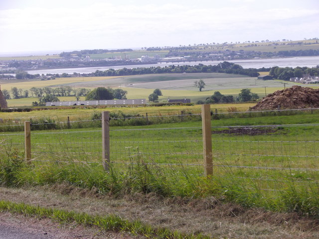
Image: © Stanley Howe Taken: 24 Jul 2015
Towards Montrose Basin, with the rail bridge over its connection to the North Sea seen in the centre distance.
Images are licensed for reuse under creativecommons.org/licenses/by-sa/2.0
Image Location
Latitude
56.746088
Longitude
-2.504865