Rear of Thorpeness Country Club
Introduction
The photograph on this page of Rear of Thorpeness Country Club by David Kemp as part of the Geograph project.
The Geograph project started in 2005 with the aim of publishing, organising and preserving representative images for every square kilometre of Great Britain, Ireland and the Isle of Man.

There are currently over 7.5m images from over 14,400 individuals and you can help contribute to the project by visiting https://www.geograph.org.uk
Rear of Thorpeness Country Club
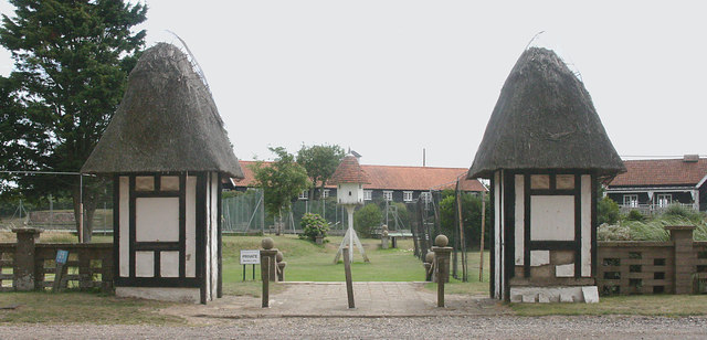
Image: © David Kemp Taken: 23 Jul 2015
The rear of the Country Club stands in The Sanctuary opposite the eastern elevation of the West Bar Water Tower.
Images are licensed for reuse under creativecommons.org/licenses/by-sa/2.0
Image Location
Latitude
52.180633
Longitude
1.615217