
Byway to Stoke, Devon
Introduction
The photograph on this page of Byway to Stoke, Devon by Roger D Kidd as part of the Geograph project.
The Geograph project started in 2005 with the aim of publishing, organising and preserving representative images for every square kilometre of Great Britain, Ireland and the Isle of Man.

There are currently over 7.5m images from over 14,400 individuals and you can help contribute to the project by visiting https://www.geograph.org.uk
Byway to Stoke, Devon
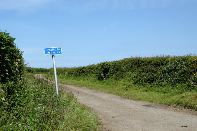
Image: © Roger D Kidd Taken: 29 Jun 2015
The road is surfaced but poorly maintained as far as the farm at Wargery. Beyond that, it is an unsurfaced for four hundred metres to Homecroft, then improves as it continues on to Stoke. There are very few public footpaths crossing fields or woodland in this part of Devon. Instead, there is an extensive network of narrow lanes, some of which are poorly maintained. Luckily, signposting at most junctions is very clear. The location is named on the post itself.
Images are licensed for reuse under creativecommons.org/licenses/by-sa/2.0
Image Location

Latitude
50.982936
Longitude
-4.513314