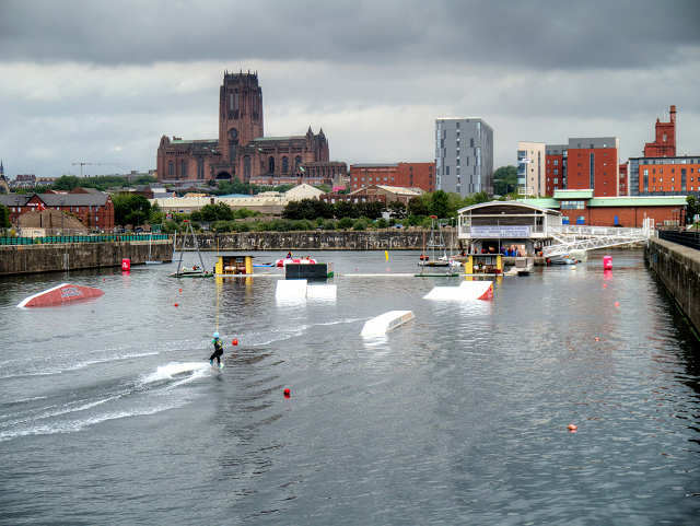
Liverpool Watersports Centre, Queen's Dock Branch No 1
Introduction
The photograph on this page of Liverpool Watersports Centre, Queen's Dock Branch No 1 by David Dixon as part of the Geograph project.
The Geograph project started in 2005 with the aim of publishing, organising and preserving representative images for every square kilometre of Great Britain, Ireland and the Isle of Man.
There are currently over 7.5m images from over 14,400 individuals and you can help contribute to the project by visiting https://www.geograph.org.uk

Image: © David Dixon Taken: 20 Jul 2015
Queen's Dock is part of the Port of Liverpool. It is situated in the southern dock system, connected to King's Dock to the north, Coburg Dock to the south. The dock was opened in 1785 and later expanded. At its largest, the dock consisted of a main basin and two branch docks, which were separated by a graving dock. Branch Dock Number 2 (to the north) has since been filled in and is used as a car park. The graving dock is now straddled by the former HM Revenue and Customs building which has now been converted into luxury apartments (Image]). Branch Dock Number 1 (to the south) houses the Liverpool Watersports Centre.

