Kingcombe Centre
Introduction
The photograph on this page of Kingcombe Centre by Mike Faherty as part of the Geograph project.
The Geograph project started in 2005 with the aim of publishing, organising and preserving representative images for every square kilometre of Great Britain, Ireland and the Isle of Man.

There are currently over 7.5m images from over 14,400 individuals and you can help contribute to the project by visiting https://www.geograph.org.uk
Kingcombe Centre
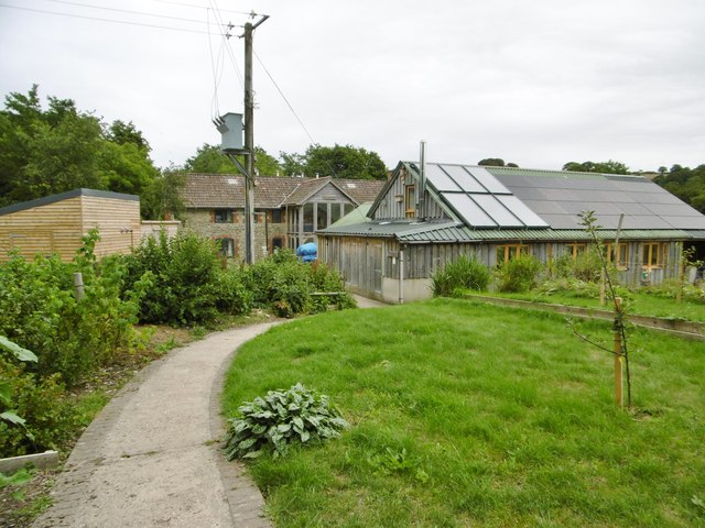
Image: © Mike Faherty Taken: 23 Jul 2015
Field study centre and Dorset Wildlife Trust offices for the neighbouring nature reserve: http://www.kingcombe.org http://www.dorsetwildlifetrust.org.uk/kingcombe_meadows_reserve
Images are licensed for reuse under creativecommons.org/licenses/by-sa/2.0
Image Location


Leaflet Map data © OpenStreetMap
Latitude
50.789205
Longitude
-2.633665