Aldi comes to town: site of former Louth Maltings, aerial 2015 (2)
Introduction
The photograph on this page of Aldi comes to town: site of former Louth Maltings, aerial 2015 (2) by Chris as part of the Geograph project.
The Geograph project started in 2005 with the aim of publishing, organising and preserving representative images for every square kilometre of Great Britain, Ireland and the Isle of Man.

There are currently over 7.5m images from over 14,400 individuals and you can help contribute to the project by visiting https://www.geograph.org.uk
Aldi comes to town: site of former Louth Maltings, aerial 2015 (2)
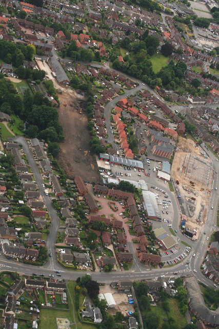
Image: © Chris Taken: 23 Jul 2015
See Image for previous picture and Image for history of the site and links to earlier stages of this project.
Images are licensed for reuse under creativecommons.org/licenses/by-sa/2.0
Image Location
Latitude
53.371242
Longitude
0.002252