Western end of a bridleway
Introduction
The photograph on this page of Western end of a bridleway by Dr Neil Clifton as part of the Geograph project.
The Geograph project started in 2005 with the aim of publishing, organising and preserving representative images for every square kilometre of Great Britain, Ireland and the Isle of Man.

There are currently over 7.5m images from over 14,400 individuals and you can help contribute to the project by visiting https://www.geograph.org.uk
Western end of a bridleway
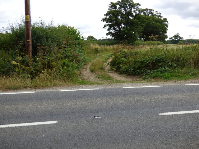
Image: © Dr Neil Clifton Taken: 23 Jul 2015
There is little, if any, evidence of any use of this bridleway by horses.
Images are licensed for reuse under creativecommons.org/licenses/by-sa/2.0
Image Location
Latitude
51.205079
Longitude
-0.244857