The guided party look at an area of unimproved chalk grassland
Introduction
The photograph on this page of The guided party look at an area of unimproved chalk grassland by Chris Reynolds as part of the Geograph project.
The Geograph project started in 2005 with the aim of publishing, organising and preserving representative images for every square kilometre of Great Britain, Ireland and the Isle of Man.

There are currently over 7.5m images from over 14,400 individuals and you can help contribute to the project by visiting https://www.geograph.org.uk
The guided party look at an area of unimproved chalk grassland
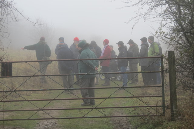
Image: © Chris Reynolds Taken: 4 Jan 2015
The volunteer guide points out some of the plants in the meadow adjoining the track. The gate is to allow the sheep to be moved to different parts of the reserve. On the East side of the ring road there is a strip of meadow which has not been affected by the quarrying. However its raised location close to the deep railway cutting suggests it may have been part of the spoil bank when the cutting was dug in the 1830s. Walk round College Lake in the fog > Image
Images are licensed for reuse under creativecommons.org/licenses/by-sa/2.0
Image Location
Latitude
51.823789
Longitude
-0.649117