Footpath to Ingmanthorpe Grange
Introduction
The photograph on this page of Footpath to Ingmanthorpe Grange by Derek Harper as part of the Geograph project.
The Geograph project started in 2005 with the aim of publishing, organising and preserving representative images for every square kilometre of Great Britain, Ireland and the Isle of Man.

There are currently over 7.5m images from over 14,400 individuals and you can help contribute to the project by visiting https://www.geograph.org.uk
Footpath to Ingmanthorpe Grange
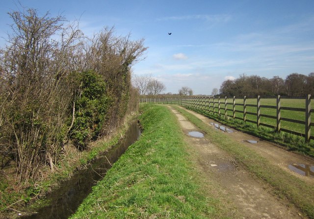
Image: © Derek Harper Taken: 6 Apr 2015
A bird flies over footpath 15 68/5/1 as it runs behind Wetherby Services on the A1(M). Across the field on the right is Sugden Wood.
Images are licensed for reuse under creativecommons.org/licenses/by-sa/2.0
Image Location


Leaflet Map data © OpenStreetMap
Latitude
53.946864
Longitude
-1.366608