Stream near Harbottle Grange
Introduction
The photograph on this page of Stream near Harbottle Grange by Andy Gryce as part of the Geograph project.
The Geograph project started in 2005 with the aim of publishing, organising and preserving representative images for every square kilometre of Great Britain, Ireland and the Isle of Man.

There are currently over 7.5m images from over 14,400 individuals and you can help contribute to the project by visiting https://www.geograph.org.uk
Stream near Harbottle Grange
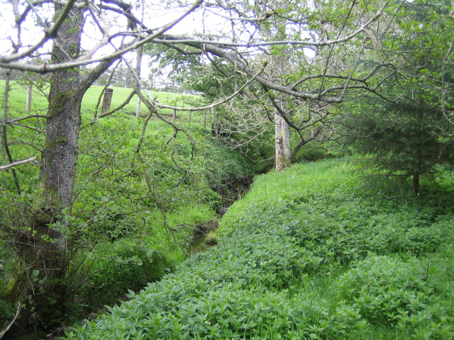
Image: © Andy Gryce Taken: 27 May 2007
The footpath from north of Sharperton to Harbottle Grange crosses this stream that flows east alongside mixed woods, which is one of many streams that merge to become Foxton Burn.
Images are licensed for reuse under creativecommons.org/licenses/by-sa/2.0
Image Location


Leaflet Map data © OpenStreetMap
Latitude
55.339834
Longitude
-2.063665