The New River south of Eade Road, N4 (10)
Introduction
The photograph on this page of The New River south of Eade Road, N4 (10) by Mike Quinn as part of the Geograph project.
The Geograph project started in 2005 with the aim of publishing, organising and preserving representative images for every square kilometre of Great Britain, Ireland and the Isle of Man.

There are currently over 7.5m images from over 14,400 individuals and you can help contribute to the project by visiting https://www.geograph.org.uk
The New River south of Eade Road, N4 (10)
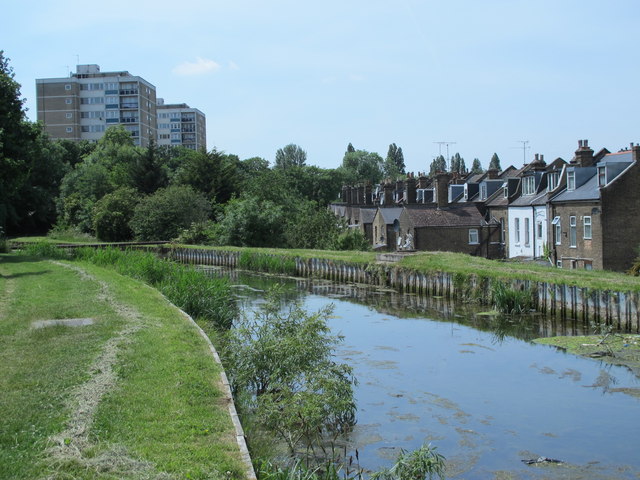
Image: © Mike Quinn Taken: 18 Jun 2015
See Image There's a steep embankment on the right hand side of the aqueduct, which more or less follows the 100 ft contour. And from the camera position, the ground floors of the terraced houses are obscured. Along this section, the New River is crossing the north-facing slope of a hill. See also Image
Images are licensed for reuse under creativecommons.org/licenses/by-sa/2.0
Image Location
Latitude
51.573849
Longitude
-0.094026