Escape lane at the bottom of St Daniel's Hill, Pembroke
Introduction
The photograph on this page of Escape lane at the bottom of St Daniel's Hill, Pembroke by Jaggery as part of the Geograph project.
The Geograph project started in 2005 with the aim of publishing, organising and preserving representative images for every square kilometre of Great Britain, Ireland and the Isle of Man.

There are currently over 7.5m images from over 14,400 individuals and you can help contribute to the project by visiting https://www.geograph.org.uk
Escape lane at the bottom of St Daniel's Hill, Pembroke
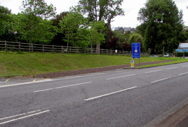
Image: © Jaggery Taken: 21 Jul 2015
For use by vehicles with brake problems, the 50 metre long bed of gravel http://www.geograph.org.uk/photo/3655814 is designed to absorb the kinetic energy of a vehicle and bring it to a halt.
Images are licensed for reuse under creativecommons.org/licenses/by-sa/2.0
Image Location
Latitude
51.673048
Longitude
-4.912684