Road junction near Sharperton
Introduction
The photograph on this page of Road junction near Sharperton by Andy Gryce as part of the Geograph project.
The Geograph project started in 2005 with the aim of publishing, organising and preserving representative images for every square kilometre of Great Britain, Ireland and the Isle of Man.

There are currently over 7.5m images from over 14,400 individuals and you can help contribute to the project by visiting https://www.geograph.org.uk
Road junction near Sharperton
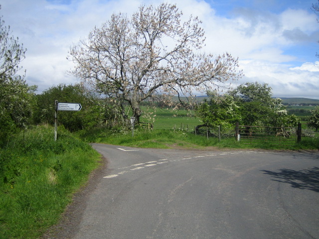
Image: © Andy Gryce Taken: 27 May 2007
There are lots of junctions on the country lanes north of the River Coquet as the roads zig zig around ancient boundaries, and this junction 3/4km north of Sharperton is typical. In this view looking north-west towards Biddlestone, the Cheviot Hills can be seen in the far distance.
Images are licensed for reuse under creativecommons.org/licenses/by-sa/2.0
Image Location


Leaflet Map data © OpenStreetMap
Latitude
55.336326
Longitude
-2.070438