Reigate: Deerings Road
Introduction
The photograph on this page of Reigate: Deerings Road by John Sutton as part of the Geograph project.
The Geograph project started in 2005 with the aim of publishing, organising and preserving representative images for every square kilometre of Great Britain, Ireland and the Isle of Man.

There are currently over 7.5m images from over 14,400 individuals and you can help contribute to the project by visiting https://www.geograph.org.uk
Reigate: Deerings Road
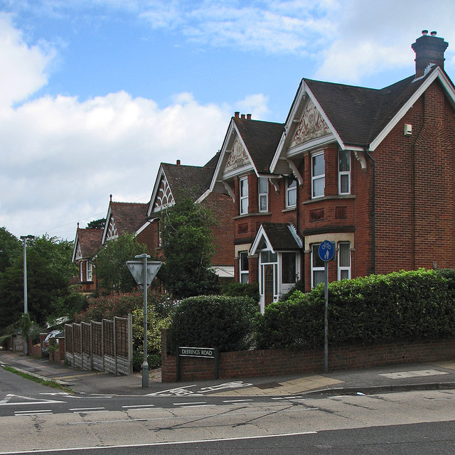
Image: © John Sutton Taken: 22 Jul 2015
Substantial fin-de-siècle red brick houses, the nearest dated 1899. Stefan Czapski's Image] shows the pargetted gables more clearly.
Images are licensed for reuse under creativecommons.org/licenses/by-sa/2.0
Image Location
Latitude
51.237569
Longitude
-0.193338