The Rathgael Road (old line), Bangor - July 2015 (1)
Introduction
The photograph on this page of The Rathgael Road (old line), Bangor - July 2015 (1) by Albert Bridge as part of the Geograph project.
The Geograph project started in 2005 with the aim of publishing, organising and preserving representative images for every square kilometre of Great Britain, Ireland and the Isle of Man.

There are currently over 7.5m images from over 14,400 individuals and you can help contribute to the project by visiting https://www.geograph.org.uk
The Rathgael Road (old line), Bangor - July 2015 (1)
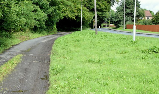
Image: © Albert Bridge Taken: 22 Jul 2015
A section of the old line of the Rathgael Road Image, on the north western side of the Clandeboye Road, left for local use after the junction was rebuilt. Image shows that part on the south eastern side of the Clandeboye Road.
Images are licensed for reuse under creativecommons.org/licenses/by-sa/2.0
Image Location
Latitude
54.643298
Longitude
-5.694884