Nashe?s Run, 1970
Introduction
The photograph on this page of Nashe?s Run, 1970 by John Baker as part of the Geograph project.
The Geograph project started in 2005 with the aim of publishing, organising and preserving representative images for every square kilometre of Great Britain, Ireland and the Isle of Man.

There are currently over 7.5m images from over 14,400 individuals and you can help contribute to the project by visiting https://www.geograph.org.uk
Nashe?s Run, 1970
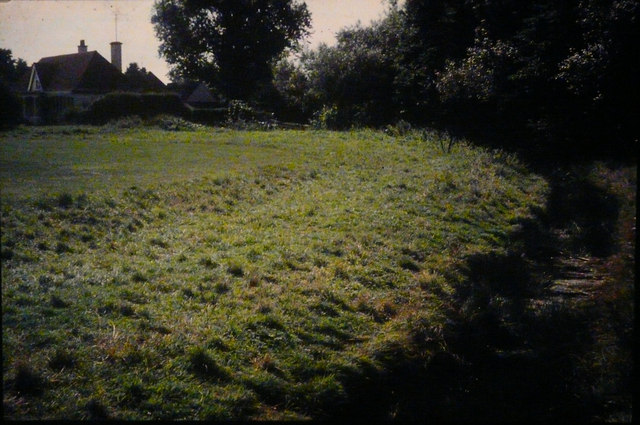
Image: © John Baker Taken: Unknown
Here looking towards the house, which used to be known as The Lodge, but was extended to become Littlestone Warren Golf Club. Aerial views show the grass has been built over. Like other Romney Marsh drains, Nashe’s Run has a bed of foul-smelling mud, if disturbed.
Images are licensed for reuse under creativecommons.org/licenses/by-sa/2.0
Image Location
Latitude
50.986114
Longitude
0.964882