Bridley Manor
Introduction
The photograph on this page of Bridley Manor by Ron Strutt as part of the Geograph project.
The Geograph project started in 2005 with the aim of publishing, organising and preserving representative images for every square kilometre of Great Britain, Ireland and the Isle of Man.

There are currently over 7.5m images from over 14,400 individuals and you can help contribute to the project by visiting https://www.geograph.org.uk
Bridley Manor
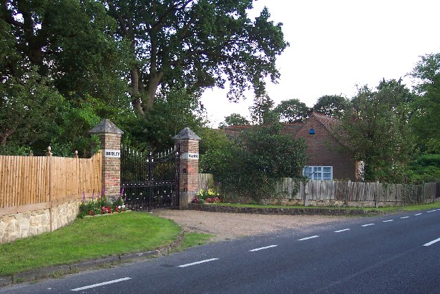
Image: © Ron Strutt Taken: 29 Aug 2005
Bridley Manor is at the far west end of Woking. Its ancient boundary still marks the boundary of the Borough of Woking.
Images are licensed for reuse under creativecommons.org/licenses/by-sa/2.0
Image Location


Leaflet Map data © OpenStreetMap
Latitude
51.290467
Longitude
-0.617498