A grey day!
Introduction
The photograph on this page of A grey day! by Keith Williamson as part of the Geograph project.
The Geograph project started in 2005 with the aim of publishing, organising and preserving representative images for every square kilometre of Great Britain, Ireland and the Isle of Man.

There are currently over 7.5m images from over 14,400 individuals and you can help contribute to the project by visiting https://www.geograph.org.uk
A grey day!
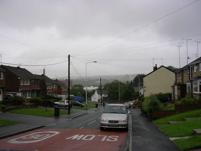
Image: © Keith Williamson Taken: 29 Aug 2005
Looking NE down Sandy Lane, Dukinfield on a wet day. This part of Sandy Lane occupies the extreme NW corner of the grid square. The road bends to the left as it drops into the valley of the River Tame and crosses the river. The houses on the left and those just out of shot on the right were built in the 1970's on land identified as "Old Sand Pits" on the 1907 OS maps. Taken from SJ95039793.
Images are licensed for reuse under creativecommons.org/licenses/by-sa/2.0
Image Location
Latitude
53.478071
Longitude
-2.076353