Gander Hill, Haywards Heath
Introduction
The photograph on this page of Gander Hill, Haywards Heath by Simon Carey as part of the Geograph project.
The Geograph project started in 2005 with the aim of publishing, organising and preserving representative images for every square kilometre of Great Britain, Ireland and the Isle of Man.

There are currently over 7.5m images from over 14,400 individuals and you can help contribute to the project by visiting https://www.geograph.org.uk
Gander Hill, Haywards Heath
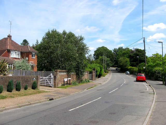
Image: © Simon Carey Taken: 18 Jul 2015
The point where College Road becomes Gander Hill. The road was once part of the old medieval Cuckfield to Lindfield highway that skirted the northern end of the old Haywards Heath common. It left Broad Street, Cuckfield at Hatchgate Lane and followed the route of the bridleway through Paige's Wood then part of Blunt's Wood Crescent and Blunt's Wood Road. Part of the section which crossed the current grounds of Haywards Heath College was removed as public access in the 1950s with a bridleway reappearing heading east from Turners Mill Road between a housing estate and a business park before rejoining Balcombe Road prior to it crossing under the railway. Here the route becomes a highway again along College road then Gander Hill up to Smallsgreen Cross where it would have once crossed Lindfield's West Common and entered that town via Denman's Lane or Hickman's Lane. Much of Gander Hill was developed between the wars.
Images are licensed for reuse under creativecommons.org/licenses/by-sa/2.0
Image Location
Latitude
51.010776
Longitude
-0.097671