Denman's Lane, Lindfield
Introduction
The photograph on this page of Denman's Lane, Lindfield by Simon Carey as part of the Geograph project.
The Geograph project started in 2005 with the aim of publishing, organising and preserving representative images for every square kilometre of Great Britain, Ireland and the Isle of Man.

There are currently over 7.5m images from over 14,400 individuals and you can help contribute to the project by visiting https://www.geograph.org.uk
Denman's Lane, Lindfield
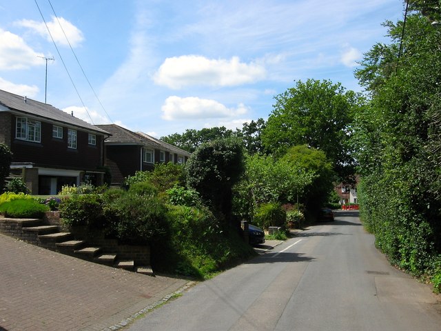
Image: © Simon Carey Taken: 18 Jul 2015
The western end of the lane that once opened out onto West Common but now ends at the junction with Hickman's Lane. This end of the road wasn't developed until after the Second World War.
Images are licensed for reuse under creativecommons.org/licenses/by-sa/2.0
Image Location
Latitude
51.012498
Longitude
-0.087479