151, High Street, Lindfield
Introduction
The photograph on this page of 151, High Street, Lindfield by Simon Carey as part of the Geograph project.
The Geograph project started in 2005 with the aim of publishing, organising and preserving representative images for every square kilometre of Great Britain, Ireland and the Isle of Man.

There are currently over 7.5m images from over 14,400 individuals and you can help contribute to the project by visiting https://www.geograph.org.uk
151, High Street, Lindfield
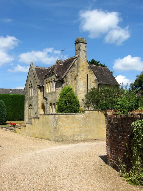
Image: © Simon Carey Taken: 18 Jul 2015
Built at the same time as neighbouring Image originally as a purpose built school masters house, it later became the Mission House before being sold to the parish in 1937. Now a private dwelling which is also known as St John's Lodge.
Images are licensed for reuse under creativecommons.org/licenses/by-sa/2.0
Image Location
Latitude
51.016948
Longitude
-0.079169