Looking towards Belvoir Castle (I)
Introduction
The photograph on this page of Looking towards Belvoir Castle (I) by Kate Jewell as part of the Geograph project.
The Geograph project started in 2005 with the aim of publishing, organising and preserving representative images for every square kilometre of Great Britain, Ireland and the Isle of Man.

There are currently over 7.5m images from over 14,400 individuals and you can help contribute to the project by visiting https://www.geograph.org.uk
Looking towards Belvoir Castle (I)
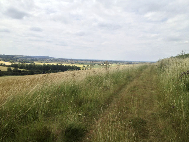
Image: © Kate Jewell Taken: 16 Jul 2015
This track follows 100 metre contour line the top of the escarpment to the west of Great Gonerby. It runs through a rich grass field margin. Belvoir Castle is on the end of the escarpment towards the left in the far distance.
Images are licensed for reuse under creativecommons.org/licenses/by-sa/2.0
Image Location
Latitude
52.932293
Longitude
-0.67616