Strowan Road
Introduction
The photograph on this page of Strowan Road by Richard Sutcliffe as part of the Geograph project.
The Geograph project started in 2005 with the aim of publishing, organising and preserving representative images for every square kilometre of Great Britain, Ireland and the Isle of Man.

There are currently over 7.5m images from over 14,400 individuals and you can help contribute to the project by visiting https://www.geograph.org.uk
Strowan Road
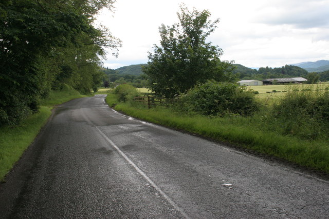
Image: © Richard Sutcliffe Taken: 19 Jul 2015
Looking west along Strowan Road, between Crieff and Comrie. The farm buildings on the right are at West Lochlane.
Images are licensed for reuse under creativecommons.org/licenses/by-sa/2.0
Image Location
Latitude
56.36512
Longitude
-3.88744