Road through South Hole in Devon
Introduction
The photograph on this page of Road through South Hole in Devon by Roger D Kidd as part of the Geograph project.
The Geograph project started in 2005 with the aim of publishing, organising and preserving representative images for every square kilometre of Great Britain, Ireland and the Isle of Man.

There are currently over 7.5m images from over 14,400 individuals and you can help contribute to the project by visiting https://www.geograph.org.uk
Road through South Hole in Devon
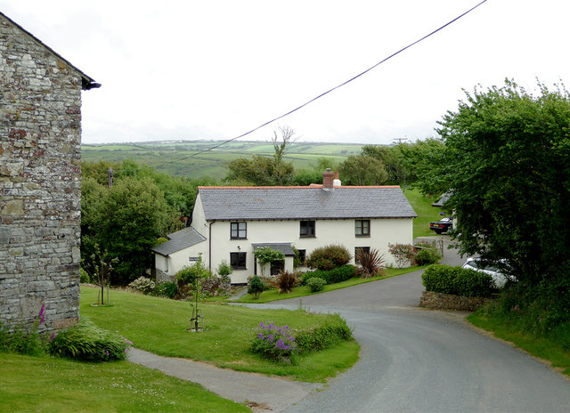
Image: © Roger D Kidd Taken: 27 Jun 2015
This shows the road passing Mole Cottage on its way towards Welcombe. There is with a fork left towards Lutsford at the bottom of the hill. Both routes become seriously narrow and/or rough in some places!
Images are licensed for reuse under creativecommons.org/licenses/by-sa/2.0
Image Location
Latitude
50.952048
Longitude
-4.535853