Lordship Park, N16
Introduction
The photograph on this page of Lordship Park, N16 by Mike Quinn as part of the Geograph project.
The Geograph project started in 2005 with the aim of publishing, organising and preserving representative images for every square kilometre of Great Britain, Ireland and the Isle of Man.

There are currently over 7.5m images from over 14,400 individuals and you can help contribute to the project by visiting https://www.geograph.org.uk
Lordship Park, N16
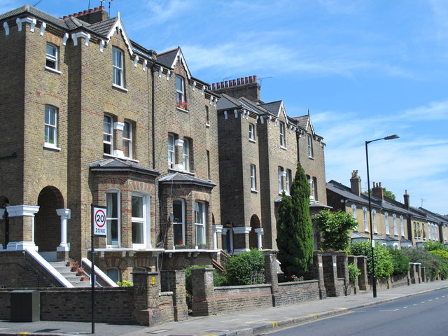
Image: © Mike Quinn Taken: 18 Jun 2015
There are two large houses similar to these on the west side of Allerton Road - see Image - then a dramatic change to the modest two-storey houses shown in Image
Images are licensed for reuse under creativecommons.org/licenses/by-sa/2.0
Image Location
Latitude
51.564357
Longitude
-0.09096