Looking down on Upper Parsonage Farm from Butser
Introduction
The photograph on this page of Looking down on Upper Parsonage Farm from Butser by Rob Farrow as part of the Geograph project.
The Geograph project started in 2005 with the aim of publishing, organising and preserving representative images for every square kilometre of Great Britain, Ireland and the Isle of Man.

There are currently over 7.5m images from over 14,400 individuals and you can help contribute to the project by visiting https://www.geograph.org.uk
Looking down on Upper Parsonage Farm from Butser
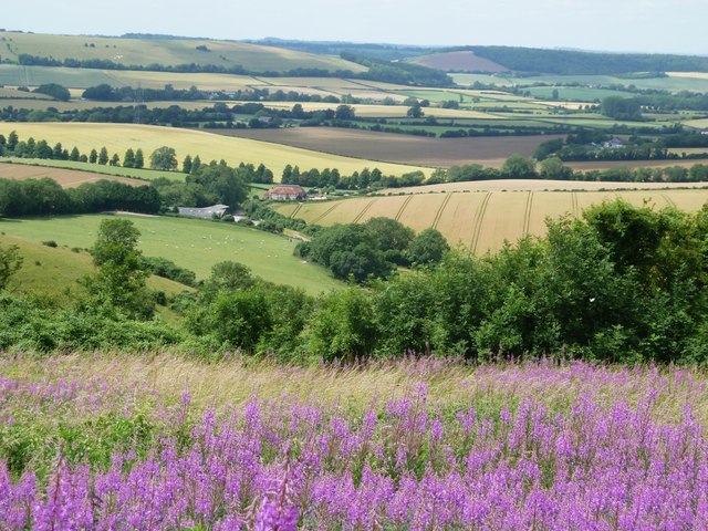
Image: © Rob Farrow Taken: 18 Jul 2015
Upper Parsonage Farm lies along Harvesting Lane to the west of Butser Hill and about 120m (400') lower in elevation. Behind it the rolling farmland leads onto the hills that curve around the western side of the village of East Meon. See also Image], Image] and Image] for similar views. See also the shared descriptions below:
Images are licensed for reuse under creativecommons.org/licenses/by-sa/2.0
Image Location
Latitude
50.983235
Longitude
-1.011862