Hole 3, Haywards Golf Course
Introduction
The photograph on this page of Hole 3, Haywards Golf Course by Simon Carey as part of the Geograph project.
The Geograph project started in 2005 with the aim of publishing, organising and preserving representative images for every square kilometre of Great Britain, Ireland and the Isle of Man.

There are currently over 7.5m images from over 14,400 individuals and you can help contribute to the project by visiting https://www.geograph.org.uk
Hole 3, Haywards Golf Course
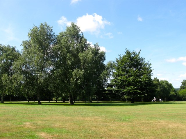
Image: © Simon Carey Taken: 18 Jul 2015
Looking across the fairway that is played from east to west. The golfers in view are actually playing the hole 16 to the immediate south. First opened in 1922 as a nine hole course which was soon extended to eighteen in 1924. The current layout was designed in 1946-48 when much of the course was given over to food production during World War Two. This section was, prior to landscaping, a field called Six Acres according to Lindfield's 1845 tithe map.
Images are licensed for reuse under creativecommons.org/licenses/by-sa/2.0
Image Location
Latitude
51.021542
Longitude
-0.09609