Neville Cottages, Copyhold Lane
Introduction
The photograph on this page of Neville Cottages, Copyhold Lane by Simon Carey as part of the Geograph project.
The Geograph project started in 2005 with the aim of publishing, organising and preserving representative images for every square kilometre of Great Britain, Ireland and the Isle of Man.

There are currently over 7.5m images from over 14,400 individuals and you can help contribute to the project by visiting https://www.geograph.org.uk
Neville Cottages, Copyhold Lane
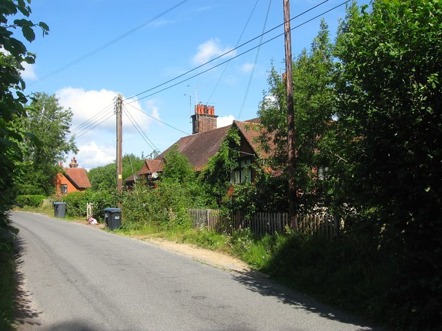
Image: © Simon Carey Taken: 18 Jul 2015
A terrace of four cottages located to the east of Image which is just visible to the left. Not marked on the 1910 OS map but do appear on the 1938 edition.
Images are licensed for reuse under creativecommons.org/licenses/by-sa/2.0
Image Location
Latitude
51.023836
Longitude
-0.10997