Cattle, Dargill
Introduction
The photograph on this page of Cattle, Dargill by Richard Webb as part of the Geograph project.
The Geograph project started in 2005 with the aim of publishing, organising and preserving representative images for every square kilometre of Great Britain, Ireland and the Isle of Man.

There are currently over 7.5m images from over 14,400 individuals and you can help contribute to the project by visiting https://www.geograph.org.uk
Cattle, Dargill
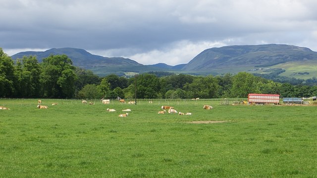
Image: © Richard Webb Taken: 21 Jun 2015
Simmental cattle in Strathearn with a view of the Highland Boundary Fault.
Images are licensed for reuse under creativecommons.org/licenses/by-sa/2.0
Image Location
Latitude
56.351957
Longitude
-3.842607