Wix Road, Great Oakley
Introduction
The photograph on this page of Wix Road, Great Oakley by Malc McDonald as part of the Geograph project.
The Geograph project started in 2005 with the aim of publishing, organising and preserving representative images for every square kilometre of Great Britain, Ireland and the Isle of Man.

There are currently over 7.5m images from over 14,400 individuals and you can help contribute to the project by visiting https://www.geograph.org.uk
Wix Road, Great Oakley
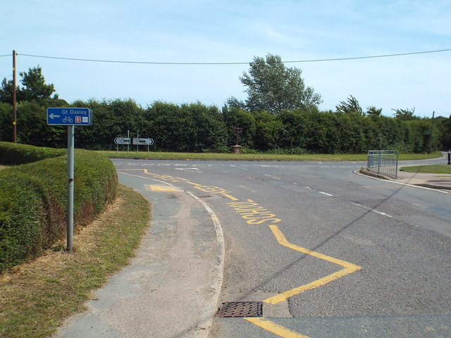
Image: © Malc McDonald Taken: 18 Jul 2015
Wix Road at its junction with School Road in the village of Great Oakley. The blue sign to the left indicates that this is part of the National Cycle Network, route 51.
Images are licensed for reuse under creativecommons.org/licenses/by-sa/2.0
Image Location
Latitude
51.901613
Longitude
1.182566