Bowder's Farm
Introduction
The photograph on this page of Bowder's Farm by Simon Carey as part of the Geograph project.
The Geograph project started in 2005 with the aim of publishing, organising and preserving representative images for every square kilometre of Great Britain, Ireland and the Isle of Man.

There are currently over 7.5m images from over 14,400 individuals and you can help contribute to the project by visiting https://www.geograph.org.uk
Bowder's Farm
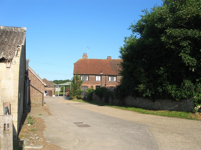
Image: © Simon Carey Taken: 18 Jul 2015
Originally a 15th century timber framed building that has been refaced with brick and an extension added in the 17th century. The farm belongs to the Balcombe Estate and includes a fresh game shop on the premises.
Images are licensed for reuse under creativecommons.org/licenses/by-sa/2.0
Image Location
Latitude
51.047488
Longitude
-0.121134