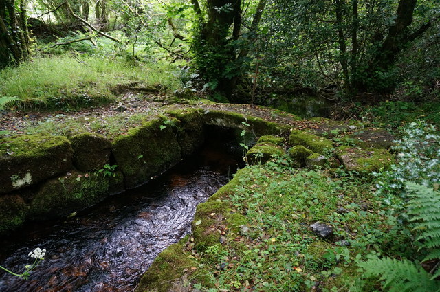
Footbridge, Mariner's Way
Introduction
The photograph on this page of Footbridge, Mariner's Way by jeff collins as part of the Geograph project.
The Geograph project started in 2005 with the aim of publishing, organising and preserving representative images for every square kilometre of Great Britain, Ireland and the Isle of Man.
There are currently over 7.5m images from over 14,400 individuals and you can help contribute to the project by visiting https://www.geograph.org.uk

Image: © jeff collins Taken: 15 Jul 2015
A single granite slab makes up this short footbridge over the infant River Bovey. Having been paid off at either Dartmouth or Bideford, and not being able to pick up another ship in that port, the sailors would walk from one coast to the other in search of work. Unfortunantly this route is not being looked after very well, overgrown, waymarkers missing. A sign of the times I suppose. The Two Moors Way now uses some of this route as well.

