Pont Aberarth
Introduction
The photograph on this page of Pont Aberarth by Stephen McKay as part of the Geograph project.
The Geograph project started in 2005 with the aim of publishing, organising and preserving representative images for every square kilometre of Great Britain, Ireland and the Isle of Man.

There are currently over 7.5m images from over 14,400 individuals and you can help contribute to the project by visiting https://www.geograph.org.uk
Pont Aberarth
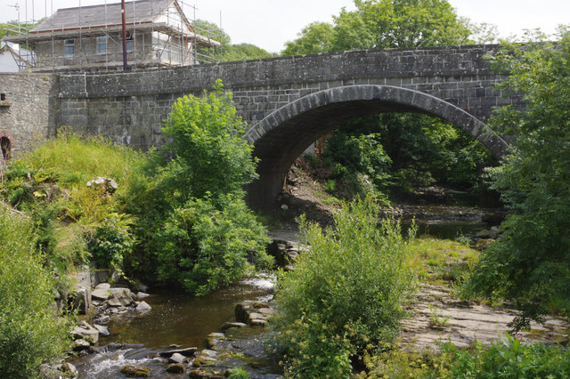
Image: © Stephen McKay Taken: 12 Jul 2015
The bridge at Aberarth carrying the A487 Ceredigion coast road dates from 1849 and was designed by Thomas Penson of Oswestry.
Images are licensed for reuse under creativecommons.org/licenses/by-sa/2.0
Image Location
Latitude
52.251131
Longitude
-4.228674