Flood defence at Sutton on Trent
Introduction
The photograph on this page of Flood defence at Sutton on Trent by Graham Hogg as part of the Geograph project.
The Geograph project started in 2005 with the aim of publishing, organising and preserving representative images for every square kilometre of Great Britain, Ireland and the Isle of Man.

There are currently over 7.5m images from over 14,400 individuals and you can help contribute to the project by visiting https://www.geograph.org.uk
Flood defence at Sutton on Trent
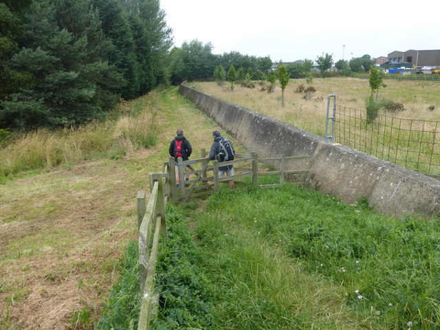
Image: © Graham Hogg Taken: 13 Jul 2015
Constructed in the 1950s, this concrete wall protects the north of the village from flooding on the River Trent.
Images are licensed for reuse under creativecommons.org/licenses/by-sa/2.0
Image Location
Latitude
53.185869
Longitude
-0.80126