Llanrhystud Post Office
Introduction
The photograph on this page of Llanrhystud Post Office by Stephen McKay as part of the Geograph project.
The Geograph project started in 2005 with the aim of publishing, organising and preserving representative images for every square kilometre of Great Britain, Ireland and the Isle of Man.

There are currently over 7.5m images from over 14,400 individuals and you can help contribute to the project by visiting https://www.geograph.org.uk
Llanrhystud Post Office
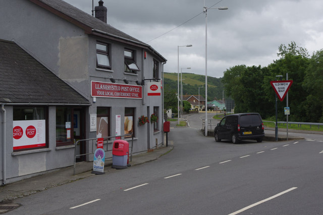
Image: © Stephen McKay Taken: 11 Jul 2015
Village facilities where the B4337 meets the A487.
Images are licensed for reuse under creativecommons.org/licenses/by-sa/2.0
Image Location


Leaflet Map data © OpenStreetMap
Latitude
52.305746
Longitude
-4.144283