Smallbrook Meadows, Warminster
Introduction
The photograph on this page of Smallbrook Meadows, Warminster by Jaggery as part of the Geograph project.
The Geograph project started in 2005 with the aim of publishing, organising and preserving representative images for every square kilometre of Great Britain, Ireland and the Isle of Man.

There are currently over 7.5m images from over 14,400 individuals and you can help contribute to the project by visiting https://www.geograph.org.uk
Smallbrook Meadows, Warminster
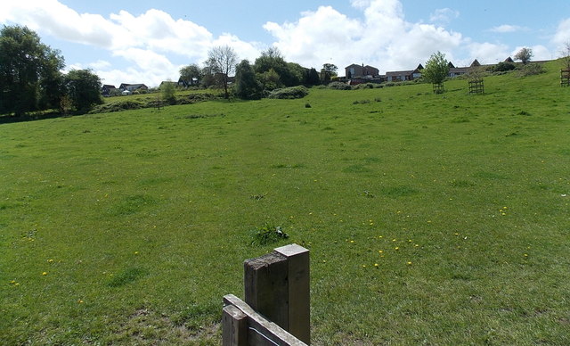
Image: © Jaggery Taken: 9 May 2014
Smallbrook Meadows Nature Reserve consists of several disused water meadows that lie between the Rivers Were and Wylye.
Images are licensed for reuse under creativecommons.org/licenses/by-sa/2.0
Image Location
Latitude
51.198587
Longitude
-2.180138