Water Rail Way
Introduction
The photograph on this page of Water Rail Way by Richard Croft as part of the Geograph project.
The Geograph project started in 2005 with the aim of publishing, organising and preserving representative images for every square kilometre of Great Britain, Ireland and the Isle of Man.

There are currently over 7.5m images from over 14,400 individuals and you can help contribute to the project by visiting https://www.geograph.org.uk
Water Rail Way
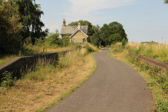
Image: © Richard Croft Taken: 16 Jul 2015
NCN route 1 / Water Rail Way through the site of Washingborough Station with platforms either side of the track
Images are licensed for reuse under creativecommons.org/licenses/by-sa/2.0
Image Location
Latitude
53.225982
Longitude
-0.47987