Llwybr Pen Ffynnon / Pen Ffynnon path
Introduction
The photograph on this page of Llwybr Pen Ffynnon / Pen Ffynnon path by Alan Richards as part of the Geograph project.
The Geograph project started in 2005 with the aim of publishing, organising and preserving representative images for every square kilometre of Great Britain, Ireland and the Isle of Man.

There are currently over 7.5m images from over 14,400 individuals and you can help contribute to the project by visiting https://www.geograph.org.uk
Llwybr Pen Ffynnon / Pen Ffynnon path
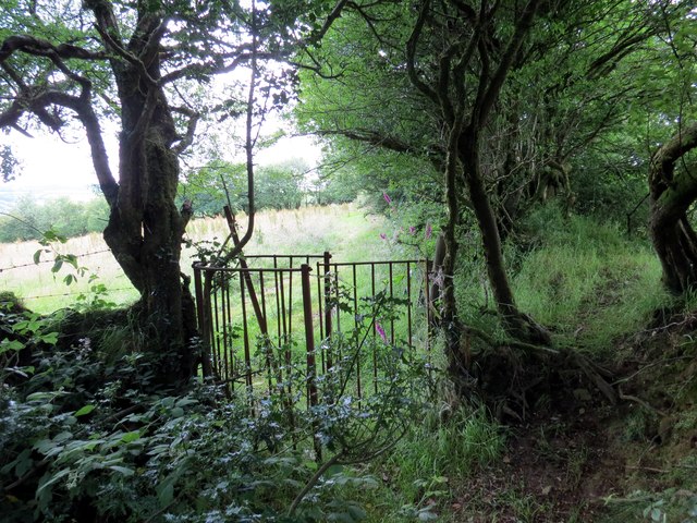
Image: © Alan Richards Taken: 17 Jul 2015
Hen gât fochyn ar lwybr cyhoeddus sy'n mynd i gyfeiriad Ffarm Pen Ffynnon. An old kissing gate on a public footpath heading in the direction of Pen Ffynnon Farm (trans. top of the spring / well).
Images are licensed for reuse under creativecommons.org/licenses/by-sa/2.0
Image Location


Leaflet Map data © OpenStreetMap
Latitude
51.941969
Longitude
-4.340333