The Belfast Road, Dundonald (July 2015)
Introduction
The photograph on this page of The Belfast Road, Dundonald (July 2015) by Albert Bridge as part of the Geograph project.
The Geograph project started in 2005 with the aim of publishing, organising and preserving representative images for every square kilometre of Great Britain, Ireland and the Isle of Man.

There are currently over 7.5m images from over 14,400 individuals and you can help contribute to the project by visiting https://www.geograph.org.uk
The Belfast Road, Dundonald (July 2015)
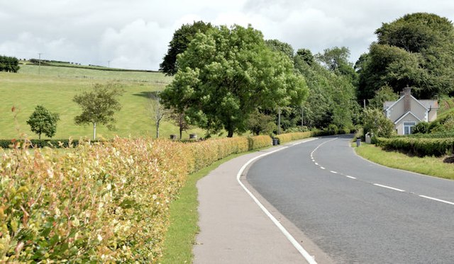
Image: © Albert Bridge Taken: 17 Jul 2015
Before the opening of the dual carriageway Image in 1978 this was the main road from Belfast to Newtownards and much of the Ards Peninsula. It was then the A20 and merited green road signs. Now classified as the C264 Image and possibly the best-known “C” road in NI. For all I know it might even be the widest “C” road in the whole UK. Feel free to contact me with Geograph link to a wider one. The beech hedge (left) is a prominent feature in late autumn.
Images are licensed for reuse under creativecommons.org/licenses/by-sa/2.0
Image Location
Latitude
54.598663
Longitude
-5.767977