Between the Embankments
Introduction
The photograph on this page of Between the Embankments by Donnylad as part of the Geograph project.
The Geograph project started in 2005 with the aim of publishing, organising and preserving representative images for every square kilometre of Great Britain, Ireland and the Isle of Man.

There are currently over 7.5m images from over 14,400 individuals and you can help contribute to the project by visiting https://www.geograph.org.uk
Between the Embankments
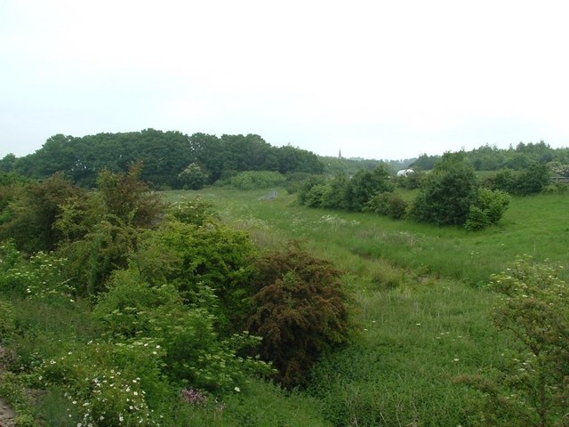
Image: © Donnylad Taken: 2 Jun 2007
Forgotten area of scrubland that lies between the A17 and the rail line Northeast of Newark. It was used as pasture land before the A17, Newark bypass was built. It is now home to very varied wildlife that visit its small ponds and gullies that take the surface water from the elevated major road.
Images are licensed for reuse under creativecommons.org/licenses/by-sa/2.0
Image Location
Latitude
53.094618
Longitude
-0.800512