Toll Gate
Introduction
The photograph on this page of Toll Gate by Anthony O'Neil as part of the Geograph project.
The Geograph project started in 2005 with the aim of publishing, organising and preserving representative images for every square kilometre of Great Britain, Ireland and the Isle of Man.

There are currently over 7.5m images from over 14,400 individuals and you can help contribute to the project by visiting https://www.geograph.org.uk
Toll Gate
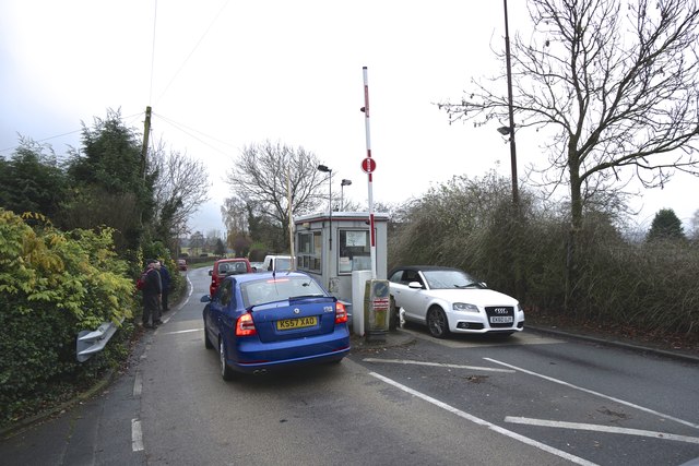
Image: © Anthony O'Neil Taken: 27 Nov 2014
Warburton High Level Bridge - one of the few still in private ownership.
Images are licensed for reuse under creativecommons.org/licenses/by-sa/2.0
Image Location
Latitude
53.403695
Longitude
-2.456759