Bridleway near Sturton Le Steeple
Introduction
The photograph on this page of Bridleway near Sturton Le Steeple by William Metcalfe as part of the Geograph project.
The Geograph project started in 2005 with the aim of publishing, organising and preserving representative images for every square kilometre of Great Britain, Ireland and the Isle of Man.

There are currently over 7.5m images from over 14,400 individuals and you can help contribute to the project by visiting https://www.geograph.org.uk
Bridleway near Sturton Le Steeple
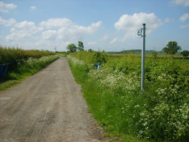
Image: © William Metcalfe Taken: 1 Jun 2007
Known as Wood Lane, this bridleway links Wheatley Road with Springs Lane.
Images are licensed for reuse under creativecommons.org/licenses/by-sa/2.0
Image Location


Leaflet Map data © OpenStreetMap
Latitude
53.354504
Longitude
-0.837101