Path junction, in Craig Wood
Introduction
The photograph on this page of Path junction, in Craig Wood by Craig Wallace as part of the Geograph project.
The Geograph project started in 2005 with the aim of publishing, organising and preserving representative images for every square kilometre of Great Britain, Ireland and the Isle of Man.

There are currently over 7.5m images from over 14,400 individuals and you can help contribute to the project by visiting https://www.geograph.org.uk
Path junction, in Craig Wood
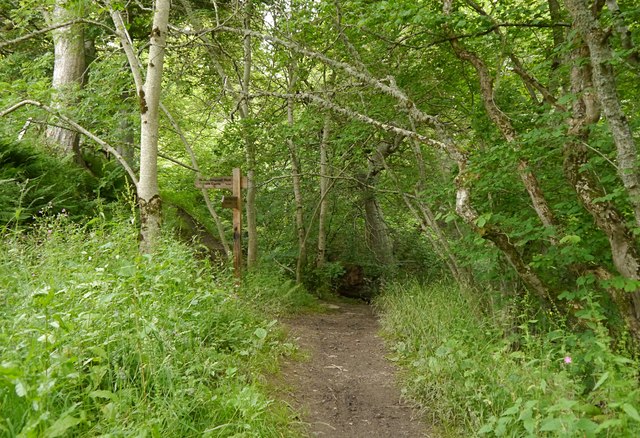
Image: © Craig Wallace Taken: 14 Jul 2015
Craig Wood is a narrow strip of woodland, on the slope above Craig Road. It has a mixture of trees, including some big beech and oak. This is close to where the Allt na Laitch flows down the hill. One path continues straight on, to ford the burn. Another path runs up the hill to the left, above the valley of the burn. This path is signposted as part of the "Round Dingwall Walk", heading towards Tulloch Castle.
Images are licensed for reuse under creativecommons.org/licenses/by-sa/2.0
Image Location
Latitude
57.608594
Longitude
-4.414666