Road junction in Elmscott, Devon
Introduction
The photograph on this page of Road junction in Elmscott, Devon by Roger D Kidd as part of the Geograph project.
The Geograph project started in 2005 with the aim of publishing, organising and preserving representative images for every square kilometre of Great Britain, Ireland and the Isle of Man.

There are currently over 7.5m images from over 14,400 individuals and you can help contribute to the project by visiting https://www.geograph.org.uk
Road junction in Elmscott, Devon
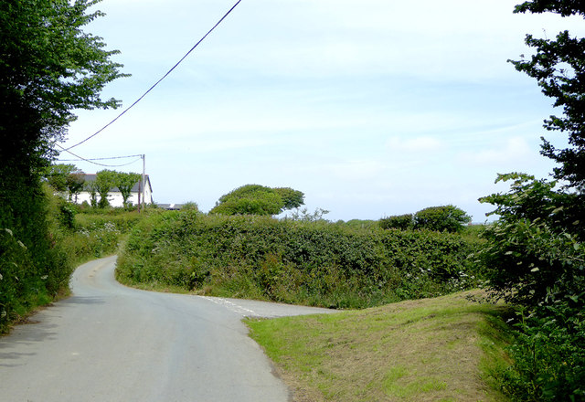
Image: © Roger D Kidd Taken: 27 Jun 2015
To the right is a narrow lane leading to Docton, Edistone and Tosberry ... and on towards the A39 and Bideford or Bude. Ahead leads towards Stoke and Hartland. The white building is the youth hostel, no longer owned by the YHA, but operated from Elmscott Farm* in a traditional hostelling manner. Recommended. * bookings can still be made via the YHA website.
Images are licensed for reuse under creativecommons.org/licenses/by-sa/2.0
Image Location
Latitude
50.966872
Longitude
-4.519996