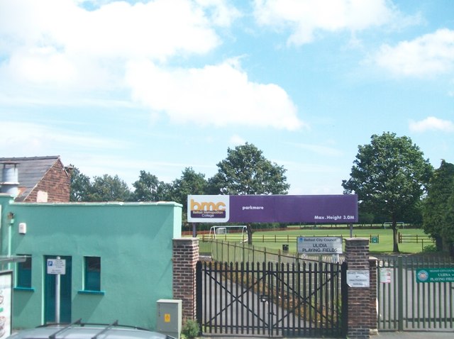
Ulidia Playing Fields
Introduction
The photograph on this page of Ulidia Playing Fields by Eric Jones as part of the Geograph project.
The Geograph project started in 2005 with the aim of publishing, organising and preserving representative images for every square kilometre of Great Britain, Ireland and the Isle of Man.
There are currently over 7.5m images from over 14,400 individuals and you can help contribute to the project by visiting https://www.geograph.org.uk

Image: © Eric Jones Taken: 10 Jul 2015
The Ulidia Playing Fields were formerly the Ormeau Cricket ground of the North of Ireland C.C. http://csnicc.com/north/index.asp In 1921 it hosted its first first class international game - that between Ireland and Wales. With a largely middle class Protestant membership the club based as it was in a working-class republican neighbourhood became a target for arsonists and decided in 2001 to withdraw from the area. The fields were then taken over by the Belfast City Council and converted into football pitches.

