Coquetdale near Harbottle
Introduction
The photograph on this page of Coquetdale near Harbottle by Andy Gryce as part of the Geograph project.
The Geograph project started in 2005 with the aim of publishing, organising and preserving representative images for every square kilometre of Great Britain, Ireland and the Isle of Man.

There are currently over 7.5m images from over 14,400 individuals and you can help contribute to the project by visiting https://www.geograph.org.uk
Coquetdale near Harbottle
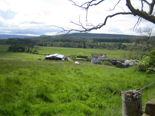
Image: © Andy Gryce Taken: 27 May 2007
This view looking south is of the valley of the River Coquet, Coquetdale, east of Harbottle. The buildings are part of the farm called The Peels. The first line of trees across the photo in the middle distance hide the river, and the hills beyond are in the Otterburn army training area. The hills in the far distance on the left are part of the Simonside Hills that overlook Thropton and Rothbury.
Images are licensed for reuse under creativecommons.org/licenses/by-sa/2.0
Image Location
Latitude
55.336402
Longitude
-2.090775