Hurston
Introduction
The photograph on this page of Hurston by jeff collins as part of the Geograph project.
The Geograph project started in 2005 with the aim of publishing, organising and preserving representative images for every square kilometre of Great Britain, Ireland and the Isle of Man.

There are currently over 7.5m images from over 14,400 individuals and you can help contribute to the project by visiting https://www.geograph.org.uk
Hurston
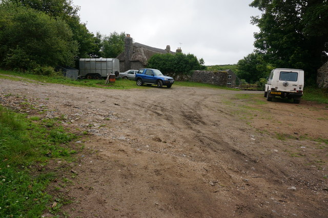
Image: © jeff collins Taken: 15 Jul 2015
A small group of thatched houses and farm buildings tucked away in the upper Bovey valley.
Images are licensed for reuse under creativecommons.org/licenses/by-sa/2.0
Image Location
Latitude
50.642357
Longitude
-3.86001