Road near The Peels, Harbottle
Introduction
The photograph on this page of Road near The Peels, Harbottle by Andy Gryce as part of the Geograph project.
The Geograph project started in 2005 with the aim of publishing, organising and preserving representative images for every square kilometre of Great Britain, Ireland and the Isle of Man.

There are currently over 7.5m images from over 14,400 individuals and you can help contribute to the project by visiting https://www.geograph.org.uk
Road near The Peels, Harbottle
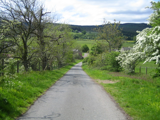
Image: © Andy Gryce Taken: 27 May 2007
This unclassified road runs down to the farmhouse and cottages of The Peels at the bottom of the hill in the gentle valley of the River Coquet. The road continues to Harbottle about 1km away, but this is impassable to most vehicles as it crosses the river by a rough and deep ford, see Image The hills in the distance on the other side of the valley are within the Otterburn army training area.
Images are licensed for reuse under creativecommons.org/licenses/by-sa/2.0
Image Location
Latitude
55.337479
Longitude
-2.092826