Fields and wood near Harbottle
Introduction
The photograph on this page of Fields and wood near Harbottle by Andy Gryce as part of the Geograph project.
The Geograph project started in 2005 with the aim of publishing, organising and preserving representative images for every square kilometre of Great Britain, Ireland and the Isle of Man.

There are currently over 7.5m images from over 14,400 individuals and you can help contribute to the project by visiting https://www.geograph.org.uk
Fields and wood near Harbottle
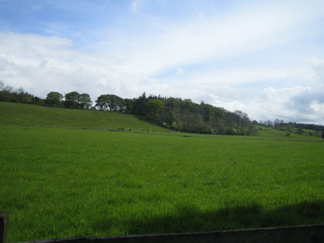
Image: © Andy Gryce Taken: 27 May 2007
The view looking north-east from the bridleway between Harbottle and Low Alwinton is of the rising ground of the valley of the River Coquet which is behind the camera.
Images are licensed for reuse under creativecommons.org/licenses/by-sa/2.0
Image Location
Latitude
55.338464
Longitude
-2.09677